Winter is on its way! Here’s a look at our DMV Winter 2024-2025 Outlook for what Washington, D.C., Maryland, and Virginia can expect this winter from the season’s La Niña weather pattern.
Lows dipped into the 30s and 40s this week across parts of the Washington, D.C. region – bringing us some of the coldest temperatures so far this season.
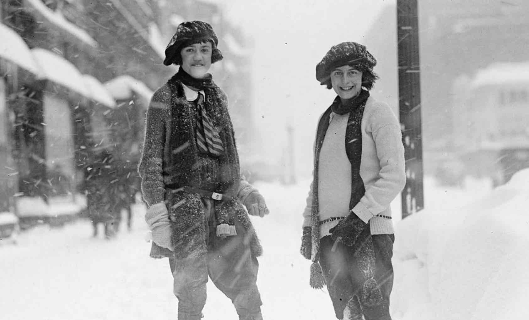
So, with Old Man Winter knocking on the door, it brings up the question: How much snow can we expect this winter in the D.C. region?
But cold weather will be here before you know it, and when it does arrive, count on your FOX 5 Weather Team to see you through it. Even if not a lot of snow is expected this winter, you can bet there will almost certainly be some school delays and closures from time to time.
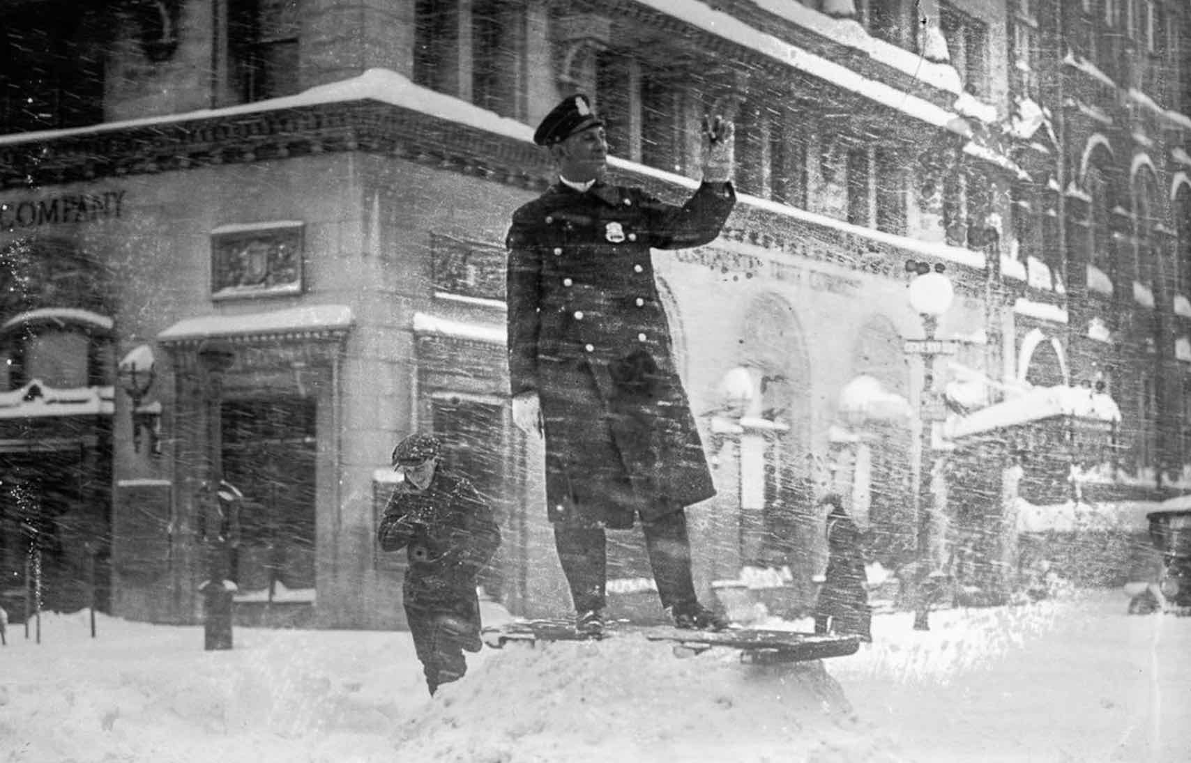
The storm itself was remarkable for its persevering intensity, generating snowfall rates of greater than one inch per hour over the 24-hour period from Friday afternoon January 27 to Saturday afternoon January 28. Twenty-five inches fell in that span, establishing a 24-hour snowfall record.
Return of La Niña
Throughout this past summer, we have been in a period of transition, from an El Niño pattern that lingered through much of last spring to an emerging La Niña that has already taken hold of the central Pacific Ocean.
Winter Weather Outlook 2024-2025
Why is this important to the D.C. region? Cooler than normal ocean temperature in this region promote weaker than normal global winds.
Weaker winds mean a less active jet stream during the winter months, and this in turn promotes a less active storm pattern, and therefore a less active snow season, throughout the winter months.
Winter Weather Outlook 2024-2025
A typical La Niña winter features cold which typically drops out of Canada into the central United States, promoting a cold winter for the northern half of the Lower 48.
The dips in the jet steam tend to be shallower when compared to an El Niño winter, and the turning of upper level winds out of the southwest across the eastern half of the country. This promotes warmer than normal conditions for the Southeast and Mid-Atlantic compared to a typical winter.
This is because storms that track into the interior turn winds out of the south as they progress northward, bringing up warm air from the north. This is in contrast to their nor’easter cousins, named as such because winds hold out of the northeast, trapping cold air in place west of the center of the storm.
So this winter on such a storm track, we would expect that the Midwest and Great Lakes would have a better chance of bigger snows, compared to those along the East Coast.
What type of La Niña?
Just like its cousin El Niño, La Niña also comes in different strengths that can have different impacts on the pattern at large. You can see from the graphic above that a moderate La Niña can perhaps be more favorable for snow than a typical La Niña, though this number may be a little skewed, which we will discuss later in this article.
For the upcoming winter, the vast majority of climate models agree that we are heading for a weak La Niña this upcoming winter.
As we examine the last eight winters that featured a weak La Niña pattern, the sad truth for snow lovers is that not a single one featured above normal snowfall here in Washington, D.C.
Five of the last six failed to get even as much snow as we received last winter (8.0″) and the last weak La Niña winter in 2022-23 failed to even record an inch of snow at Reagan National Airport.
It goes even deeper than this, in fact. Regardless of strength, if we look at every La Niña case since the turn of the century, not a single case managed to bring D.C. above normal snowfall.
Only two cases, 2005-06 and 2021-22, managed to give the city over a foot of snow for the entire season. Recent history certainly is not in the favor of La Niña being a good sign to break the snow drought that DC has been in the last half decade.
The PDO factor
La Niña is far from the only thing that we look at when it comes to making a seasonal prediction. One thing that was a major factor in last year’s winter weather outlook is the Pacific Decadal Oscillation…more commonly known as the PDO.
This feature is a pattern of sea surface temperatures across the North Pacific that can influence wind patterns and the location of the polar jetstream across the United States.
Perhaps the primary reason FOX 5 meteorologist Mike Thomas was not more aggressive with snowfall last year was that the PDO was in what we call a “cool” or “negative” phase.
This is where warmer-than-normal waters are present south of the Aleutian Islands stretching back to Japan, while waters in the Gulf of Alaska are colder-than-normal.
“If there is one feature I continue to go back to over the last five years to try and explain the snowless streak, to me the PDO cycle continues to stand out,” says Thomas.
The ‘D’ in PDO stands for “decadal” which gives homage the infrequency that this climate signal shifts. Unlike others like La Niña, El Niño, and features like the Madden-Julian Oscillation (MJO) which can vary year to year or even shorter, the PDO is something that typically flips between positive and negative phases only once or twice in a decade. For the better part of the last decade, the PDO has not just been negative, but strongly negative. It remains so this year.
To give you an idea of how influential this feature can be, only three of the last ten winters have featured above normal snowfall…and two of those three were years nine and ten, which happen to be the last time the PDO was in a brief sustained positive phase.
In fact, the last major blizzard the the D.C. region had, the blizzard of January 2016, happened in the midst of this positive phase. Thomas says this feature being present during the coming La Niña winter will only continue to hamper our big snow potential.
“I think the best way to think of how something like the PDO can influence the pattern, is it is more like a additive, something that can enhance what is already there.
Like adding a little lemon to a glass of water,” says Thomas. “So with La Niña already expected to provide a warmer-than-normal winter for the region, the addition of a negative PDO simply enhances this warmth. It does not drive the pattern, but it does help it along.”
The above image shows how a negative phase of the PDO typically enhances the pattern. Similar to what a La Niña would do, it makes warm anomalies more likely across the southern and eastern half of the country, while making colder anomalies more likely in the north (left image).
Also, notice the precipitation trends (right image) with drier anomalies being more likely for the East Coast.
What else affects the winter weather outlook
A feature FOX 5’s weather team mentioned a lot last year is just the overall state of the Atlantic Ocean. It was near record levels of warmth ahead of the busy hurricane season, and even with the cold season approaching, water retains heat for a much longer period of time than a land mass.
The D.C. area is likely to see most noticeable impacts in terms of overnight low temperatures, which is expected to be well above average for most of the winter.
In addition, we examined the coverage of snowfall across Europe and Asia. The speed of its expanse can sometimes give an indication on how blocking patterns may setup this winter, though through the middle of October this seems to be running about average. We are not getting any strong signals in this regard this year.
Another feature we closely watch is the Quasi-Biennial Oscillation, commonly known as the QBO. The QBO is a regular variation of the winds that blow high above the equator. Strong winds in the stratosphere travel in a belt around the planet, and every year to year and a half or so, these winds completely change direction. When they do, they can influence the strength of jet streams in the northern hemisphere.
When the QBO is in what we call the “easterly phase” it is blowing against the natural westerlies the blow in the upper atmosphere due to the rotation of the earth, which can weaken jet streams and make atmospheric blocking patterns that deliver stronger cold into the United States more common.
This season it is in what we call a “westerly phase” which can help enhance the strength of jet streams, which is yet another sign that makes a milder winter more likely.
Will D.C. see snow this winter?
What is a winter outlook at the end of the day? It is a touch of science, a lot of understanding trends, trying to interpret what certain climate signals could mean for the winter ahead. However, a great deal of winter forecasting is simple statistics. Here is the harsh reality for snow lovers. Since 1950, there have been 25 total observations of a La Niña pattern.
Of them, only five cases of La Niña of any strength have exceeded D.C. current seasonal average snowfall of 13.8″ of snow. Blizzards and winter storms just are not all that common during a La Niña season.
However, in the wise words of Jim Carrey from Dumb and Dumber “so you’re telling me there’s a chance…”
There is one year that does stand out. It is such an anomaly it is hard to factor it in with any winter forecast, but the La Niña winter of 1995-1996 was one that did not disappoint snow lovers, and remains the fifth-snowiest winter as far back as snowfall records go (1884-1885 winter). The blizzard that hit that year between January 6-8, 1996 remains, according to The Northeast Snowfall Impact Scale (NESIS) the second most powerful blizzard to ever impact the D.C. region. It is one of only two “category 5” blizzards on their scale to ever impact DC.., with the only other being the “Storm of the Century” back in March of 1993. The storm dropped over 17″ of snow on downtown.
The point? Big snows are possible in any winter, even when they are not favored. They can happen. It is not what we are expecting this winter, but a phrase to live by is “never say never in weather.” The reality is that no two winters are exactly alike. So while statistics tell us that 80% of La Niña winters end up with below normal snowfall, there is still that 20% chance that we could end up on the snowier side of things.
With all of that reasoning, what are our thoughts on the upcoming winter?
FOX 5’s Mike Thomas says as a snow lover, it’s not looking good.
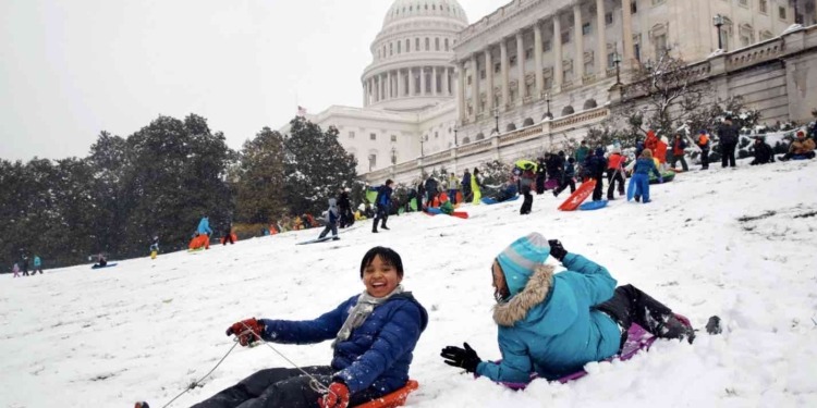
“Growing up in the DC area in the 90s and early 2000s I fondly remember many a snow day making friends on the neighborhood sledding hill. So one of the first things I do is look for some signal that the winter ahead could feature some snowfall,” said Thomas. “This year, I’m really struggling to find any solid indicator that good snow could be in our future. For those of you that do not like the snow, and I know there are many, all the signs seem to point towards our sixth straight year of below normal snowfall for the DC region.”
FOX 5’s weather team is calling for just 4-10″ of total snowfall this winter.
It’s a low range, and honestly one that a single decent snowstorm could topple. Western zones and mountains will see more as they often do, especially westward-facing slopes, but we do think the entire region will struggle to hit their averages this season. One thing D.C. has never had though, at least not as far back as records go, is a snowless winter.
“While my outlook for snow lovers does look bleak, I do not think it will be a snowless winter. I’m expecting 1-3 smaller end events (1-3″ snows/slush) and 1-2 middle end events (3-6″ snows),” says Thomas. “I think a high impact snowstorm (6″+) is less likely for DC proper this year than the average year, though there is an above normal chance for a more impactful ‘sloppy’ winter system, like freezing rain/ice to impact the region later in the winter.”
While there will be periods of cold, as there are every winter, Thomas does not think they are extended, and overall is expecting a warmer-than-normal winter of 2-3°F above normal for the winter as a whole.
“I think extremes, like single digit lows like we saw during the La Niña winter of 2022-23, will be harder to do this winter. With that being said though, I also do not anticipate seeing 80°F in January again like we did last winter, though I could see February sneaking in some days close to that number,” said Thomas.
Last winter comparison
Last winter, the D.C. area was in the midst of an El Niño pattern, one that historically has offered about 50/50 odds of getting a big storm in the DC region during the winter.
However, several other climate signals bothered FOX 5 meteorologist Mike Thomas. In particular, the very warm Atlantic water temperatures and along with the water temperatures in the North Pacific Ocean, a feature called the “PDO.”
Also concerning was the strength of the El Niño, as blizzards are more common during moderate El Niño winters as opposed to strong El Niño winters. Strong El Niño winters are characterized by being much warmer than a typical El Niño winter would be, which was a very big concern for our outlook.
Last year’s outlook specified that the winter had major “boom or bust” potential, and went with 12-20″ of snowfall, one of the lowest of local outlooks. Last winter has officially been recognized as a strong El Niño winter, and indeed we did not get the blizzard many snow lovers were hoping for.
In fact, we only received 8″ of snow on the season. While this did come in below our range, the many other parts of the forecast come in true to prediction, enough that The Washington Post named our winter outlook the most accurate of last winter.




Discussion about this post